
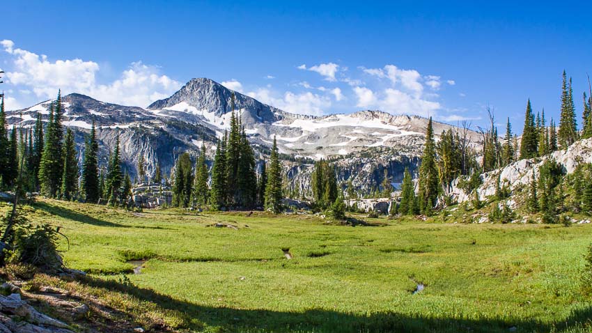
Eagle Cap Wilderness
The Eagle Cap Wilderness, at 361,446 acres (556 sq miles) is Oregon's largest. Within these white, salt-and-pepper granite mountains, you'll find approximately 534 miles of developed trails and over 50 lakes to explore, including Legore at an elevation of 8,880 feet- Oregon's highest.

Hiking Around Joseph
The Joseph area has access to literally hundreds of miles of trails for hikers and horseman to discover and explore. In the Eagle Cap Wilderness you’ll find that most trails are rocky and moderately difficult. Casual hikers can find many miles of trails that offer exceptional scenic experiences as well. The stunning mix of varied landscapes and visual surprises is hard to completely cover in a lifetime.
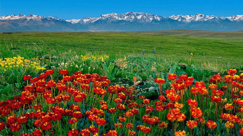
The Prairie of the Wallowas
If you’re visiting for the first time, you probably came here for the mountains, but did you know that there’s a rare and spectacular feature that most never visit? It’s the vast, 515 sq. mile (329,600 acre) prairie known as the Zumwalt and its largely pristine and intact. It’s boundary extends northeast from all the towns in the Wallowa Valley right up to the forests that mark the rim overlooking the Snake River along the Oregon-Idaho border. This once-common landscape covered some 40 percent of the U.S, but today less that 2 percent remains. If you like rolling hills, vast skies, green fields and wildflowers, our prairie environs are sure to impress.

Touring for Grand Views
The stunning landscape around Joseph Oregon is characterized by extremes of elevation. While most rightly associate the Joseph area with the mountains, a vast area is actually made up of canyons.

Winter Recreation
Visiting Joseph during the winter might sound like a crazy idea, but it might be just the thing your peace-starved soul desires. And, it can be a lot of fun too!