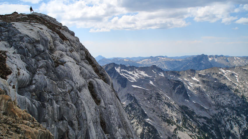


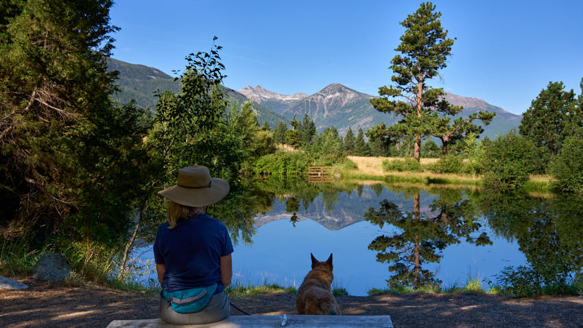
The Joseph area has access to literally hundreds of miles of trails for hikers and horseman to discover and explore. In the Eagle Cap Wilderness you’ll find that most trails are rocky and moderately difficult. Casual hikers can find many miles of trails that offer exceptional scenic experiences as well. The stunning mix of varied landscapes and visual surprises is hard to completely cover in a lifetime.
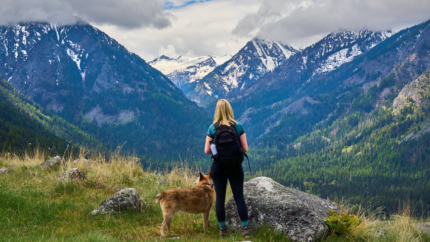
To warm-up, consider some of the easier hikes: Iwetemlaykin, The East Moraine, Hurricane Creek and the trail to BC Falls at Wallowa Lake. Don't overdue it on your first day; the effect of elevation on those used to living closer to sea level can affect you more than you think.
If you’re trying to cut your ascent to one of the many peaks or lakes, consider a trailhead that starts at a higher elevation to begin with- this can cut more than 1000 feet off your climb.
Also, short-cutting to into the Alpine Zone is just an incredible Tram ride away. On top there are trails to explore and the views are breathtaking (without all the panting).
When venturing into the more remote areas please be aware that even basic services are scarce and you'll find cell coverage spotty at best. Plan to have plenty of gas and water for your trip!
Speeds on USFS gravel roads are slow, less than 25mph. The gravel roads can be harsh on soft/worn tires so do check your spare and plan extra time to your destination.
Joseph Area Trail Access (closest to farthest):
- Iwetemlaykin State Heritage Site
- One Mile from Joseph (Natural, Oregon State Park)
- El: 4400'
- Improved- Smooth trails - Great for Runners
- Good Parking
- Features Short Nature Trail, Pond, Meadows, Wildlife, ADA
- No Pass Required
- East Moraine Trails
- 4 miles from Joseph (Natural, Community Forest, Multiple Use Area)
- El: 4450'
- Dirt Road and Rocky Trails
- Pass-free parking
- Features incredible views, Horseback and Bicycle roads
- No pass required
- Hurricane Creek Trailhead:
- 6 Miles from Joseph (Wilderness)
- El: 5050'
- Very Narrow Road (Blind Corners... GO SLOW)
- Good Parking
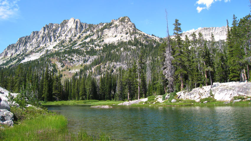
- Features Goat Meadows, Slick Rock, Lakes Basin
- NW Forest Pass Required*
- Wallowa Lake Trailhead:
- 7 Miles from Joseph (National Forest, Wilderness)
- El: 4675'
- Improved
- Good Parking
- Features Three Major Trails, Views, Streams Waterfalls, Lakes
- No Pass required
- McCully Trailhead:
- 11 Miles from Joseph (Wilderness)
- El: 5763'
- Narrow Road, Paved/Gravel Road
- OK Parking
- Features Two Trails, Back-Route up Mt. Howard and the trail to the beautiful McCully Basin
- NW Forest Pass Required*
- Tenderfoot Trailhead
- 24 Miles from Joseph (Wilderness)
- El 6514'
- Rustic
- Paved/Narrow Gravel Road
- Good Parking
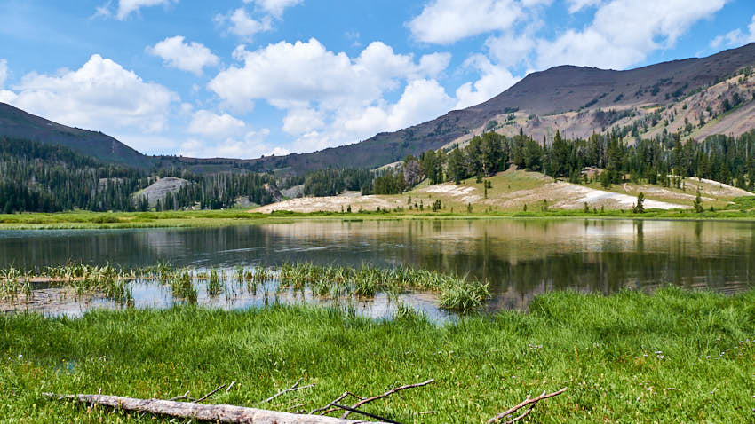
- Features Bonny Lakes, Tenderfoot Pass, Dollar Ridge (fossilized seashells) and beyond
- No Pass Required
- Maxwell Lake Trailhead:
- 33 Miles from Joseph (Wilderness)
- El: 5450'
- Improved
- Long Paved/Gravel Road
- Good Parking
- Features Maxwell Lake
- NW Forest Pass Required*
- Two Pan Trailhead:
- 34 Miles from Joseph (Wilderness)
- El: 5590'
- Improved
- Long Paved/Gravel Road
- Good Parking
- Features easiest access to Lakes Basin
- NW Forest Pass Required*
* NW Forest Day-Passes are available at most trailheads by self-issue.